Recommended!
19 Jun 2025
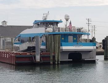
Planning an Outer Banks day trip that feels worth the time and effort can be tricky, especially during summer, when long lines and crowded parking lots are the norm. But the Ocracoke Express Passenger Ferry offers a refreshing alternative.
This high-speed, walk-on ferry connects Hatteras...