Compared to most of the rest of the country, it seems as though the Outer Banks is getting off pretty easily as the Christmas Bomb winter cyclone of 2022 barrels across the nation.
Still, we did notice it…and not just the dropping temperatures, which are dropping very quickly right now.
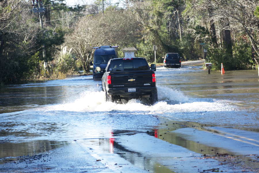
Mostly the visible effect has been the soundside flooding.
West winds especially push water into Kitty Hawk Bay, and once the water is in bay, the only place for it to go is into the canals and creeks that wander through Kitty Hawk Woods.. And extra foot and a half or two feet of water in them and the water begins to spread onto lawns and roads.
That’s pretty much what happened today, except it looks as though Kitty Hawk Bay was overflowing the banks at closer to four feet.
The Kitty Hawk Police Department had a busy time of it. They had to close Moor Shore Road, which is more or less expected during any kind of day like today. The kicker is a fairly expensive section of West Kitty Hawk Road also had to be closed. In some cases people who left their homes to go shopping at noon, discovered when they returned an hour and a half later, that they could not get to their home. The rise in water level was that fast.
The waters subsided relatively quickly; by 5:00 roads were reopening and the big concern became the wind and rapidly falling temperature.
As we are reporting on the day’s weather, the forecast low tonight is 17 degrees. The record is 16 so there’s a good possibility that we’ll hit that figure. Regardless, the coldest point is usually just before dawn, and it is possible it will bet that cold in the early morning hours.
It is a fast moving system, though. Looking out a week or so, by Monday the warming trend will begin, and we’re looking at some nice December weather next week.
The power and beauty of nature is always on display on the Outer Banks. sort by to see what it’s all about wile staying in a Brindley Beach Vacations home.

