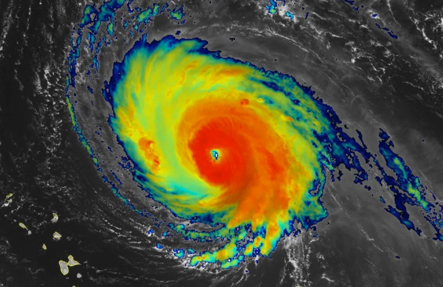
Hurricane Sam is not coming to the Outer Banks. The Category 4 hurricane won’t even be close. It’s so far out to sea it’s even west of Bermuda.
But we are going to get some of the storms effects…and surfers are rejoicing. Or they will be.
Starting sometime later in the day on Friday, but much more on Saturday, Sunday and even into Monday morning, swells from Hurricane Sam will show up along the Outer Banks. There’s a pretty significant spread on wave height forecast, but consistent 5’ waves seem likely Saturday into Sunday.
Wind conditions are probably best on Sunday, but even with the NNE winds predicted for Saturday the power of the waves should create some good conditions.
Sunday, though, with winds from the SSW, is definitely looking like the best day. Warmest, too.
A lot of times, conditions will vary between Buxton and south and the northern Outer Banks because of the way the Hatteras Island bend to the west at the Point. Not so in this case. In fact, waves are forecast to be a little bigger at Buxton than Nags Head.
If you ant to sound like you know what you’re talking about, the area from the Point to Hatteras Inlet is scientifically known as the Hatteras Bight.
The downside to storm generated swells is—don’t go in the water without a board. There is almost no doubt that the red flags will by flying all weekend, meaning swimmers should not go in the water. Friday should be good, but after that the rip current risk will rise quickly making swimming dangerous. Also the power of hurricane generated waves is remarkable. Even when they’re at 4-5’ they are noticeably different than the usual waves along the Outer Banks.
Have a surf board? Fall and winter are great times to catch a wave on the Outer Banks. A Brindley Beach Vacation home is the perfect place to stay while catching some waves.

